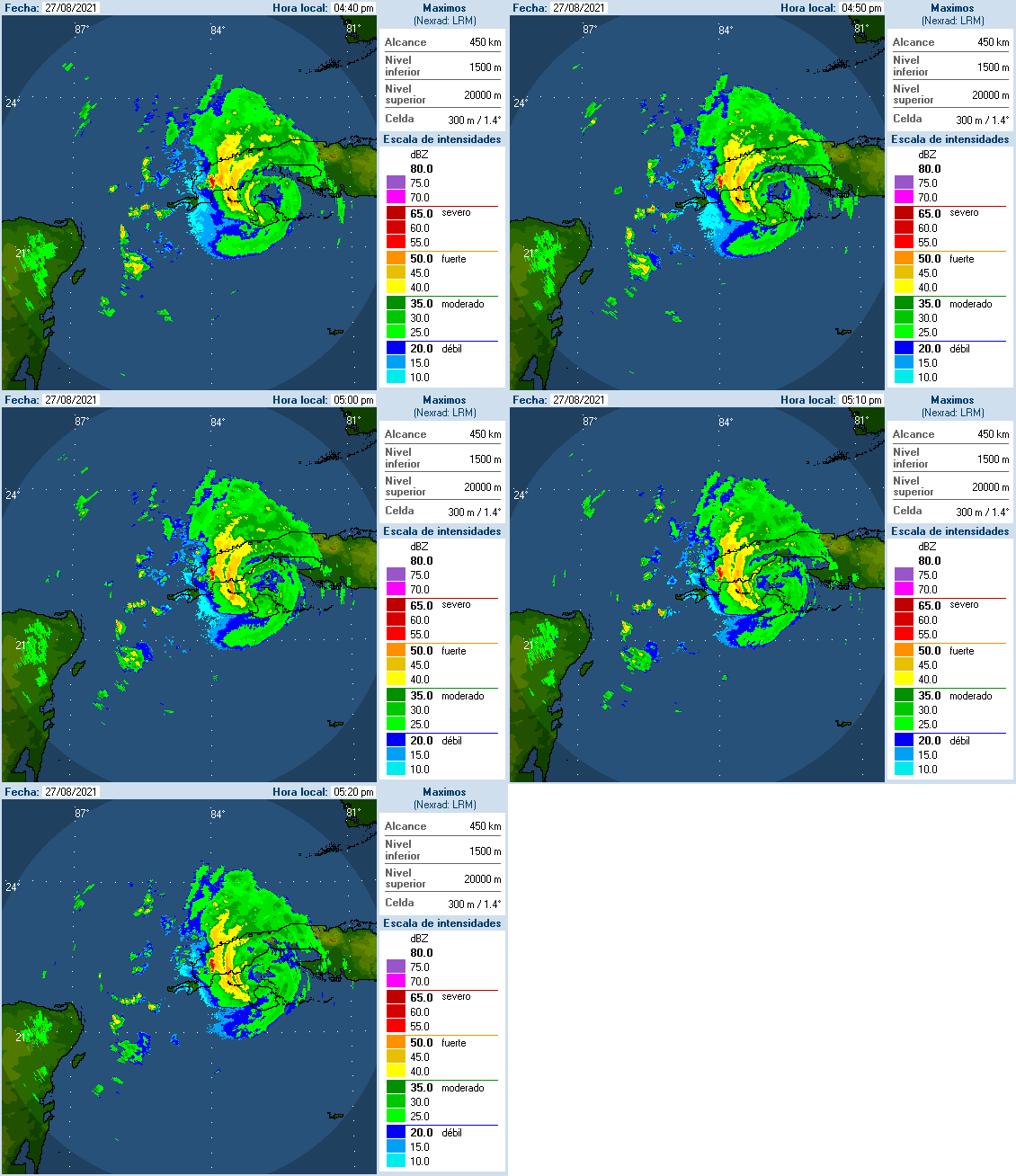
Ida means business. She’s coming into Cuba hot and stronger than anticipated. From the Instituto de Meteorología de la República de Cuba:

If she is able to maintain any real semblance of a core as she transits Cuba tonight, she’ll be able to take full advantage of the very high oceanic heat content and excellent atmospheric conditions in the central gulf as she heads north. This one worries me. If the rapid intensification cycle does indeed take place tomorrow, the strength at landfall will be determined by things like eyewall replacement cycles and forward speed. The atmospherics and ocean heat content support a very strong hurricane up to and at the north central gulf coast.
https://www.nhc.noaa.gov/refresh/graphics_at4+shtml/155544.shtml?cone#contents
If you have friends and family there, now is the time to tell them to pay very close attention to the news and reputable weather sources (https://www.nhc.noaa.gov/) over the weekend. If they are heading out camping or some place with no or limited connectivity or news sources, get a hold of them before they head out for the weekend.